Lines Of Latitude And Longitude Are Measured In
Lines of latitude and longitude are fundamental to the way humans navigate and understand the Earth. These imaginary lines form a grid system that helps pinpoint locations anywhere on the globe, making them essential for maps, navigation, and global communication. A common question people ask is lines of latitude and longitude are measured in what units? The answer lies in understanding degrees, minutes, and seconds, as well as how these units work together to create precise coordinates.
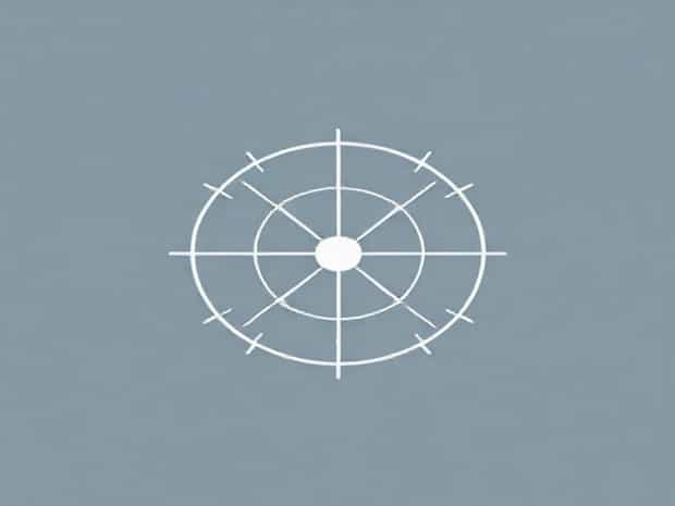
Understanding Latitude and Longitude
Latitude and longitude are the two key components of the geographic coordinate system. They allow every point on Earth’s surface to be described by a unique set of numbers. These numbers correspond to angles measured from the Earth’s center, making them both scientific and practical tools for navigation.
Latitude
Latitude lines run east to west and measure how far a location is north or south of the equator. The equator itself is defined as 0° latitude, while the North Pole is 90° north and the South Pole is 90° south. Latitude values range from 0° to 90° in both directions.
Longitude
Longitude lines run north to south and measure how far a location is east or west of the Prime Meridian. The Prime Meridian, located in Greenwich, England, is defined as 0° longitude. Longitudes extend to 180° east and 180° west, meeting at the International Date Line in the Pacific Ocean.
Units of Measurement
Lines of latitude and longitude are measured in degrees (°), which are further divided into minutes (²) and seconds (³). This system is known as the sexagesimal system, based on the number 60, and has been used in navigation and astronomy for centuries.
- Degrees (°)The primary unit for measuring angles. One full circle has 360 degrees, and Earth’s coordinate system is based on this division.
- Minutes (²)Each degree is divided into 60 minutes. A single minute of latitude represents about 1.85 kilometers (1.15 miles) on Earth’s surface.
- Seconds (³)Each minute is further divided into 60 seconds, allowing for highly precise measurements. One second of latitude equals roughly 30 meters (100 feet).
Examples of Coordinates
To see how latitude and longitude are measured in practice, consider the city of Warsaw, Poland. Its coordinates are approximately 52°13²N, 21°00²E. This means it is 52 degrees and 13 minutes north of the equator, and 21 degrees east of the Prime Meridian.
For even more precision, seconds can be included. For example, New York City is located at approximately 40°42²46³N, 74°00²21³W. The inclusion of seconds narrows the position down to within a few dozen meters.
Decimal Degrees
While the traditional degrees, minutes, and seconds system remains important, modern technology often uses decimal degrees for simplicity. In this format, coordinates are expressed as a decimal number instead of minutes and seconds. For example, 40°42²46³N becomes 40.7128°N in decimal form. GPS devices, online maps, and navigation apps commonly use this format because it is easier to calculate and process.
The Role of Latitude and Longitude in Navigation
Understanding that lines of latitude and longitude are measured in degrees helps explain how sailors, pilots, and travelers have used them for centuries. These coordinates provide a universal system that does not depend on local landmarks. Whether navigating across oceans or flying above continents, the system ensures consistency and accuracy.
Marine Navigation
Before modern GPS, sailors relied on celestial navigation to calculate latitude using the stars and longitude with precise clocks. The degree-based system of measurement allowed them to mark their positions on nautical charts.
Aviation
Airplanes use latitude and longitude coordinates for flight paths and air traffic control. Pilots rely on this system to follow exact routes and ensure safe distances from other aircraft.
Importance of Degrees, Minutes, and Seconds
The reason latitude and longitude are measured in degrees, minutes, and seconds lies in the precision required for global navigation. Degrees alone are too large to pinpoint exact locations, so dividing them into smaller units provides greater accuracy.
- One degree of latitude equals roughly 111 kilometers (69 miles).
- One minute of latitude equals about 1.85 kilometers (1.15 miles).
- One second of latitude equals about 30 meters (100 feet).
Longitude measurements vary in actual distance because the Earth is spherical. At the equator, one degree of longitude also measures about 111 kilometers, but this distance decreases as you move toward the poles, where lines of longitude converge.
Global Applications
The measurement system for latitude and longitude is not just for navigation; it also has broader applications in science, communication, and disaster management.
Scientific Research
Geographers, geologists, and environmental scientists use coordinates to map ecosystems, study climate patterns, and track changes in landscapes. The precise measurement of locations helps with long-term monitoring and analysis.
Technology and Communication
Smartphones, internet services, and delivery companies rely on GPS, which uses latitude and longitude measured in degrees. This system enables real-time tracking and efficient services across the globe.
Disaster Management
During natural disasters, aid organizations use coordinates to deliver supplies and assistance. Precise measurement ensures help reaches the exact locations where it is needed most.
Educational Value
Teaching how lines of latitude and longitude are measured in degrees, minutes, and seconds helps students grasp Earth’s geography. Understanding this system also introduces learners to concepts of mathematics, astronomy, and history. By learning how to read coordinates, students gain practical skills useful in travel and technology.
Challenges in Understanding the System
Although the coordinate system is precise, some people find the use of degrees, minutes, and seconds confusing. The conversion to decimal degrees helps modern users, but both systems remain in use. Knowing how to interpret both is essential for travelers, researchers, and anyone working with global maps.
Lines of latitude and longitude are measured in degrees, minutes, and seconds, forming the foundation of the global coordinate system. This method allows accurate positioning of every point on Earth, from major cities to remote islands. While modern technology often uses decimal degrees for convenience, the traditional system remains deeply embedded in navigation, science, and education. By understanding how these measurements work, we gain insight into the tools that connect our world and make precise global communication possible.