King County Wetland Delineation
Wetlands are among the most valuable ecosystems in the environment, providing critical habitat for wildlife, improving water quality, and helping manage floodwaters. In King County, Washington, wetland conservation has become a priority due to the rapid urbanization and development pressures in the region. Wetland delineation is a crucial process used to identify, map, and classify these sensitive areas, ensuring that they are protected under environmental regulations and managed sustainably. Understanding how wetland delineation works, its importance, and the methods used in King County can help developers, environmental scientists, and the general public make informed decisions regarding land use and conservation.
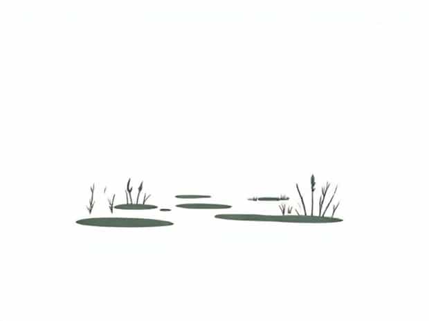
What is Wetland Delineation?
Wetland delineation is the process of determining the boundaries of wetlands using a combination of field observations, soil analysis, hydrology assessment, and vegetation surveys. Wetlands are defined as areas that are inundated or saturated by surface water or groundwater for sufficient periods to support vegetation adapted for life in saturated soil conditions. In King County, wetland delineation is essential for regulatory compliance, as local, state, and federal laws require that wetlands be identified before development projects can proceed.
Importance of Wetland Delineation in King County
King County is home to a variety of wetland types, including marshes, swamps, bogs, and floodplain wetlands. Wetlands in the county provide numerous ecological and social benefits, such as
- Supporting biodiversity by providing habitat for birds, amphibians, fish, and other wildlife.
- Filtering pollutants and sediments from stormwater, improving water quality in rivers and lakes.
- Storing floodwaters and reducing the impact of heavy rainfall on urban areas.
- Maintaining groundwater recharge and sustaining stream flows during dry periods.
- Offering recreational opportunities and aesthetic value for communities.
By accurately delineating wetlands, King County can ensure that these areas are protected from development activities that could disrupt ecological functions or compromise public safety.
Regulatory Framework for Wetland Delineation
Wetland delineation in King County follows specific regulatory guidelines to ensure consistency and legal compliance. Key regulations include
- Federal RegulationsThe Clean Water Act, administered by the U.S. Army Corps of Engineers, requires permits for activities that discharge fill or dredge material into wetlands.
- State RegulationsWashington State’s Department of Ecology oversees wetland protection under the State Environmental Policy Act (SEPA) and Shoreline Management Act.
- Local RegulationsKing County has its own critical areas ordinances, which mandate wetland protection, buffers, and proper delineation for development permits.
Compliance with these regulations is essential for developers and property owners to avoid fines, legal disputes, and project delays.
Methods of Wetland Delineation in King County
Wetland delineation typically involves a combination of fieldwork, mapping, and data analysis. In King County, professionals use standardized methods to ensure accuracy
Field Assessment
Fieldwork is the cornerstone of wetland delineation. Environmental scientists visit the site to observe vegetation, soil, and hydrological conditions. They look for indicators such as
- Presence of hydrophytic vegetation, which thrives in saturated soil.
- Hydric soils, characterized by organic-rich or waterlogged conditions.
- Signs of saturation or standing water during critical periods.
Soil Analysis
Soil samples are collected and examined to confirm wetland characteristics. Hydric soils typically exhibit features like dark coloration, low oxygen levels, and organic matter accumulation. Soil analysis helps distinguish wetlands from upland areas and provides scientific evidence for regulatory submissions.
Hydrology Assessment
Hydrology studies focus on water presence, movement, and seasonal variations. Field professionals look for indicators such as water marks on trees, sediment deposits, and flooding patterns. King County often integrates historical hydrology data, rainfall records, and topographic surveys to understand long-term water dynamics at the site.
Vegetation Surveys
Vegetation surveys document plant species and their abundance. Hydrophytic plant dominance is a key criterion in wetland delineation. Species lists help determine the type of wetland present, such as marshes dominated by herbaceous plants or swamps with woody vegetation. Accurate vegetation surveys contribute to both ecological assessment and regulatory compliance.
Mapping and Documentation
Once field data is collected, it is used to create detailed maps showing wetland boundaries. Geographic Information Systems (GIS) and aerial imagery often complement field observations, allowing for precise spatial representation. Documentation includes soil logs, vegetation charts, hydrology notes, and photographs, forming the official record for regulatory review and permitting.
Challenges in Wetland Delineation
Wetland delineation in King County faces several challenges, including
- Seasonal variability Wetland characteristics can change with rainfall, making timing crucial for accurate assessment.
- Urban development Encroachment and previous land modifications can obscure wetland indicators.
- Complex ecosystems Some areas have mixed wetland and upland characteristics, requiring expert judgment.
- Regulatory complexity Navigating federal, state, and local requirements can be challenging for both consultants and property owners.
Benefits of Accurate Wetland Delineation
Proper wetland delineation provides multiple benefits for King County
- Ensures compliance with environmental regulations, avoiding legal and financial consequences.
- Protects water quality and supports aquatic ecosystems.
- Helps plan sustainable urban development by identifying areas unsuitable for construction.
- Supports environmental conservation initiatives and biodiversity protection.
- Guides restoration projects and habitat enhancement efforts.
Community and Environmental Impact
Wetland delineation has direct benefits for local communities and ecosystems. Protecting wetlands reduces flood risk, improves recreational opportunities, and maintains scenic landscapes. It also supports endangered or threatened species that rely on wetland habitats. By integrating wetland information into land-use planning, King County fosters a balance between development and environmental preservation.
Future Directions
Advances in technology, such as remote sensing, LiDAR mapping, and drone surveys, are improving the efficiency and accuracy of wetland delineation. King County continues to adopt innovative approaches to manage wetlands sustainably while accommodating urban growth. Ongoing research, public education, and collaboration with environmental organizations ensure that wetland delineation remains a key tool for ecological protection and responsible land management.
King County wetland delineation plays a vital role in protecting one of the region’s most important ecological resources. By carefully identifying and mapping wetlands, environmental professionals help maintain biodiversity, improve water quality, and support sustainable urban development. Accurate delineation ensures compliance with regulations, informs land-use decisions, and enhances community resilience against floods and other environmental hazards. As King County continues to grow, wetland delineation will remain a cornerstone of responsible environmental management, ensuring that these critical ecosystems are preserved for future generations.
In summary, wetland delineation in King County is not only a regulatory requirement but a proactive approach to safeguard natural habitats, maintain water quality, and balance human development with ecological stewardship. It demonstrates the county’s commitment to sustainability, environmental protection, and long-term community well-being.