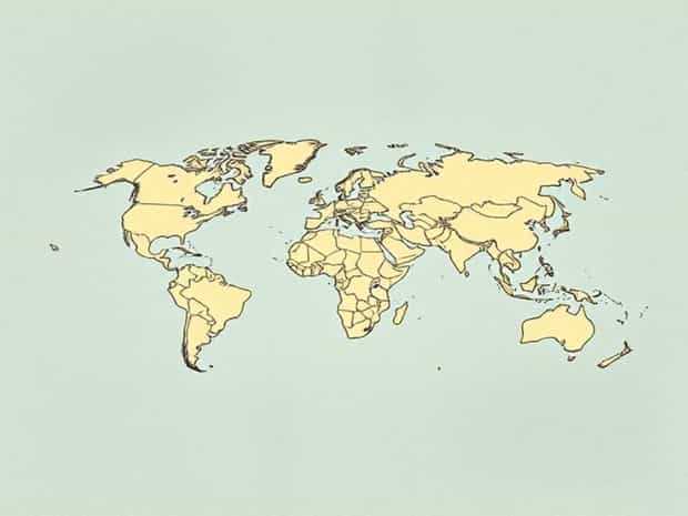
Importance Of Cartography In Geography
Cartography, the art and science of map-making, has been an essential component of geography for centuries, serving as a vital tool for understanding the world around us. Maps are more than simple representations of physical spaces; they are instruments for analysis, planning, and communication. From ancient explorers charting unknown territories to modern geographers using digital mapping technologies, cartography provides a framework for organizing spatial information and interpreting geographic patterns. Its importance extends across numerous disciplines, including urban planning, environmental management, disaster response, and education. By visually representing landscapes, political boundaries, population distribution, and natural resources, cartography allows geographers and the general public alike to comprehend complex geographic data and make informed decisions based on spatial relationships and patterns.
Definition and Scope of Cartography
Cartography involves the design, production, and study of maps. It combines artistic skills with scientific principles to produce accurate and meaningful representations of the Earth’s surface. Modern cartography incorporates geographic information systems (GIS), remote sensing, and digital mapping technologies, enhancing the precision and functionality of maps. Beyond traditional paper maps, digital platforms now provide interactive and real-time representations of spatial data. The scope of cartography encompasses thematic mapping, topographic mapping, navigational charts, and urban planning maps, among others, making it a versatile tool in both academic and practical contexts.
Components of Cartography
- Map DesignThe visual layout, symbols, and scale of a map that facilitate understanding.
- Geospatial AnalysisUsing spatial data to interpret geographic patterns and relationships.
- Data CollectionGathering geographic information through surveys, satellites, and remote sensing.
- Map ProductionCreating maps in digital or physical formats for various purposes.
Cartography as a Tool in Geography
Geography is the study of Earth’s physical features, human populations, and the interaction between the environment and society. Cartography is indispensable in geography because it translates these complex concepts into visual forms that are easier to analyze and understand. Maps produced through cartographic techniques allow geographers to illustrate topography, climate zones, vegetation patterns, and urban development. By using cartography, researchers can observe trends, identify spatial relationships, and communicate findings to policymakers, educators, and the general public effectively.
Applications in Physical Geography
In physical geography, cartography helps illustrate natural features and processes. Topographic maps show elevation and landforms, aiding in the study of mountains, valleys, rivers, and coastlines. Climate maps display temperature and precipitation patterns, while geological maps provide insights into soil types, rock formations, and fault lines. These maps enable geographers to predict natural events, understand ecological patterns, and manage natural resources effectively.
Applications in Human Geography
Human geography benefits equally from cartographic methods. Maps depicting population density, migration patterns, and urban growth provide insights into demographic trends and social dynamics. Economic maps show the distribution of industries, trade routes, and resource availability, supporting economic planning and policy-making. Political maps delineate administrative boundaries, helping in governance and international relations. Cartography thus bridges the gap between physical and human geography by providing a spatial context to social and environmental phenomena.
The Role of Cartography in Environmental Management
Environmental management relies heavily on cartography to monitor, analyze, and plan the use of natural resources. Maps illustrate land use patterns, forest cover, water resources, and biodiversity hotspots, aiding in sustainable development practices. By using thematic maps, environmental scientists can identify areas at risk of deforestation, soil erosion, or pollution, and propose mitigation strategies. Cartography also supports the design of protected areas, the planning of conservation projects, and the assessment of human impact on ecosystems.
Examples of Environmental Cartography
- Mapping flood-prone areas to guide infrastructure development and disaster preparedness.
- Monitoring deforestation through satellite imagery and land use maps.
- Identifying wildlife habitats and migration corridors for conservation planning.
- Analyzing soil and water resources to support sustainable agriculture.
Cartography in Urban and Regional Planning
Urban planners and policymakers use cartography to design cities and regions efficiently. Maps illustrate transportation networks, zoning areas, population density, and public amenities, guiding decisions on infrastructure development and service allocation. Geographic information systems (GIS) enhance these maps by providing dynamic data layers, enabling planners to simulate scenarios and predict outcomes. The visual representation of spatial data ensures that urban development is organized, sustainable, and responsive to community needs.
Key Contributions to Planning
- Transportation mapping to optimize traffic flow and public transit routes.
- Land-use planning to balance residential, commercial, and industrial zones.
- Disaster management mapping for emergency response and evacuation planning.
- Environmental impact mapping to minimize ecological damage during construction.
Technological Advancements in Cartography
The evolution of cartography has been significantly influenced by technology. Geographic Information Systems (GIS), Global Positioning Systems (GPS), and remote sensing allow geographers to create highly accurate and interactive maps. Digital mapping platforms enable real-time data visualization, making maps more informative and accessible. Modern cartography also integrates statistical analysis and 3D modeling, which enhance the study of spatial patterns and geographical phenomena. These technological tools expand the capabilities of cartography, transforming it into a powerful instrument for research, policy-making, and public awareness.
Modern Cartographic Tools
- GIS Integrates spatial data for analysis, visualization, and decision-making.
- Remote Sensing Uses satellite imagery to monitor land cover, climate, and environmental changes.
- GPS Technology Provides precise location data for navigation, mapping, and field research.
- Interactive Digital Maps Allow users to explore and manipulate geographic data in real time.
Educational Importance of Cartography
Cartography also plays a crucial role in education by helping students visualize and understand geographic concepts. Maps can simplify complex information, such as migration trends, climate zones, and geological formations, making it easier to grasp relationships between locations and phenomena. In classrooms, cartography fosters critical thinking, spatial awareness, and analytical skills. By interpreting maps, students learn to recognize patterns, make predictions, and understand the interactions between human and physical environments.
Benefits in Education
- Enhances spatial thinking and geographic literacy.
- Facilitates understanding of complex geographic and environmental data.
- Encourages interactive learning through map analysis and GIS projects.
- Prepares students for careers in geography, urban planning, environmental science, and related fields.
The importance of cartography in geography cannot be overstated. From its historical role in exploration to modern applications in GIS and urban planning, cartography remains central to understanding the world. It provides a visual and analytical framework for studying physical and human geography, managing natural resources, and planning sustainable communities. Technological advancements have enhanced the precision, accessibility, and functionality of maps, making them invaluable tools for research, policy-making, and education. By integrating cartography into geographic studies, we gain a clearer understanding of spatial relationships, environmental processes, and societal patterns, underscoring its continued relevance and significance in the modern world.