How Far Inland Can A Tsunami Go
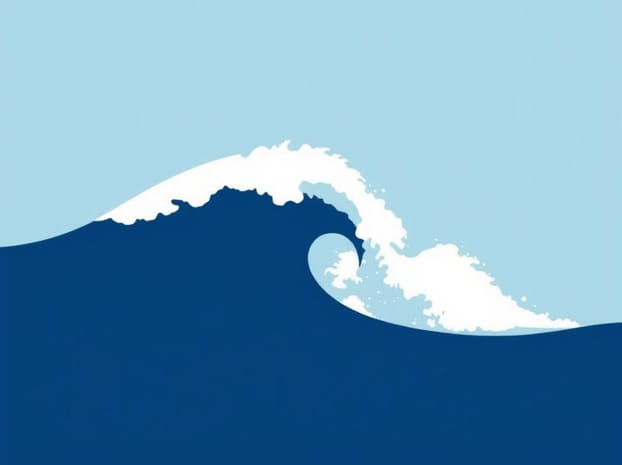
Tsunamis are among the most destructive natural disasters, capable of causing widespread damage along coastal regions. Unlike regular waves, tsunamis are generated by underwater earthquakes, volcanic eruptions, or landslides, producing massive volumes of water that can move at high speeds across the ocean. One of the critical questions for disaster preparedness and urban planning is how far inland a tsunami can travel once it reaches the shore. The extent of tsunami penetration depends on various factors, including wave height, coastal topography, slope of the land, and the presence of natural barriers. Understanding these factors is essential for risk assessment, evacuation planning, and minimizing the loss of life and property.
Factors Determining Tsunami Inland Penetration
The distance a tsunami can travel inland, often called inundation distance,” varies greatly depending on both natural and local factors. Coastal shape, land elevation, vegetation, and man-made structures can either limit or enhance the reach of a tsunami. For instance, flat low-lying coastal areas are more vulnerable to deep inland penetration compared to steep, elevated coastlines. Similarly, bays and estuaries can amplify the wave’s energy, allowing it to reach further inland than a straight shoreline would permit.
Wave Height and Energy
The initial height of a tsunami at the coastline significantly impacts how far it can travel inland. A small wave may cause minor flooding near the beach, while a large wave exceeding 10 meters can penetrate several kilometers inland, especially in flat terrain. The energy carried by the wave determines its destructive potential, allowing it to carry debris and flood structures well beyond the immediate coast.
Coastal Topography and Slope
Coastal slope is a critical factor in tsunami inundation. Gentle sloping coasts allow water to travel further inland because the wave loses energy gradually. In contrast, steep cliffs and elevated shorelines reduce inland penetration as the wave’s energy is dissipated more quickly. Coastal regions with deltas, estuaries, or river mouths often experience amplified effects because the wave is funneled into narrow channels, increasing its height and velocity.
Vegetation and Natural Barriers
Vegetation such as mangrove forests, coral reefs, and sand dunes can reduce the inland penetration of tsunamis. These natural barriers dissipate wave energy and slow down the water, providing crucial protection to coastal settlements. Coral reefs reduce wave velocity offshore, while mangrove trees absorb energy as water passes through them. Sand dunes act as physical obstacles, preventing the water from advancing freely. The absence of these protective features makes coastal areas more vulnerable to extensive flooding.
Historical Examples of Tsunami Inundation
Examining historical tsunamis helps understand the potential inland reach of these catastrophic waves. The 2004 Indian Ocean tsunami, one of the deadliest in recorded history, traveled up to 5 kilometers inland in low-lying areas of Sumatra and Thailand. In some regions, the water inundated villages and agricultural lands far beyond the shoreline. Similarly, the 2011 Tohoku tsunami in Japan traveled up to 10 kilometers inland in flat coastal plains, causing massive destruction and loss of life despite advanced warning systems. These examples illustrate that tsunami inland penetration can vary widely depending on local geography and wave characteristics.
Influence of Urban Development
Urban development along coastlines can also influence how far a tsunami can penetrate inland. Buildings, roads, and seawalls may either block or redirect water flow. In some cases, poorly designed structures can channel the wave deeper into urban areas, increasing damage. Conversely, planned evacuation routes, levees, and engineered barriers can reduce the inland reach of tsunamis and protect populations. Understanding the interaction between natural and artificial landscapes is essential for effective tsunami risk management.
Estimating Inundation Distance
Scientists and disaster management authorities use computer models to estimate how far tsunamis can travel inland. These models take into account wave height, ocean depth, coastal slope, and land cover to predict potential inundation zones. Geographic Information Systems (GIS) and remote sensing technology allow authorities to create hazard maps showing areas at risk of flooding. These maps inform evacuation plans and zoning regulations, helping communities prepare for potential tsunami events.
Factors Considered in Modeling
- Wave amplitude and energy at the coastline
- Coastal slope and elevation profiles
- Presence of rivers, estuaries, and bays
- Vegetation and artificial structures
- Population density and critical infrastructure
Preparedness and Mitigation Strategies
Understanding how far a tsunami can go inland is critical for planning mitigation measures. Coastal communities are encouraged to establish evacuation routes, early warning systems, and designated safe zones at higher elevations. Public education programs ensure residents know the signs of an approaching tsunami, such as unusual sea recession or strong ground shaking from an earthquake. Building codes may require elevated structures or seawalls to reduce the impact of tsunamis, while reforestation of mangroves and protection of coral reefs can enhance natural defenses.
Evacuation Planning
- Identify high ground locations within a few kilometers inland as evacuation sites
- Create clear signage and route maps for residents and tourists
- Conduct regular drills to ensure preparedness
- Integrate real-time monitoring systems for early detection of tsunami threats
Infrastructure and Urban Design
Proper urban planning can reduce tsunami impact. Elevated buildings, seawalls, and breakwaters help limit flooding. Roads and bridges should be designed to withstand high water flows and provide safe evacuation routes. Coastal zoning can restrict high-density development in areas most vulnerable to tsunami inundation, reducing potential casualties and property loss.
The distance a tsunami can travel inland varies greatly, influenced by wave height, coastal topography, slope, vegetation, and man-made structures. While some tsunamis may affect only a few hundred meters inland, others, especially in flat coastal plains, can travel several kilometers, causing widespread devastation. Historical events like the 2004 Indian Ocean tsunami and the 2011 Tohoku tsunami demonstrate the potential for extensive inland penetration. By understanding these factors and using modern modeling techniques, authorities can identify high-risk areas and implement preparedness measures, including evacuation plans, early warning systems, and protective infrastructure. Recognizing the inland reach of tsunamis is critical for saving lives, protecting property, and building resilient coastal communities. Effective disaster preparedness combines scientific knowledge with practical strategies to mitigate the impact of one of nature’s most powerful forces.
assessing the potential distance a tsunami can go inland is not only a scientific endeavor but also a vital component of public safety and community planning. Awareness, planning, and natural and artificial protective measures can significantly reduce the impact of these catastrophic waves, allowing coastal populations to survive and recover more effectively after a tsunami event.