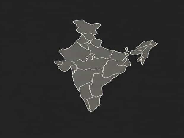
Geography Of India Physiography
India is a country of remarkable geographic diversity, offering a wide range of landscapes, climates, and natural features. Its physiography, which refers to the physical structure and configuration of the land, is highly varied due to tectonic activity, river systems, and climatic influences. From towering mountains in the north to fertile plains and plateaus in the central regions, and from arid deserts to lush coastal belts, India’s physiography plays a crucial role in its agriculture, economy, and culture. Understanding India’s physiographic regions provides insight into how its landforms influence settlement patterns, natural resources, and environmental conditions, making it a fascinating subject for geography enthusiasts and scholars alike.
The Himalayan Region
The Himalayan mountain range forms the northern boundary of India, acting as a natural barrier and influencing climate patterns across the subcontinent. This region is further divided into three major physiographic zones the Greater Himalayas, the Lesser Himalayas, and the Shiwalik Hills. The Greater Himalayas, also known as the Himadri, feature the highest peaks, including Mount Kanchenjunga and Nanda Devi, with elevations exceeding 8,000 meters. These mountains are characterized by glaciers, snowfields, and rugged terrain. The Lesser Himalayas or Himachal, lying south of the Greater Himalayas, consist of lower ranges and valleys, which are important for agriculture and human settlements. The Shiwalik Hills, forming the outermost range, are composed of unconsolidated sediments and support dense forests and rich biodiversity.
Significance of the Himalayas
- Act as a climatic barrier, preventing cold Central Asian winds from entering India.
- Source of major rivers like the Ganga, Yamuna, and Brahmaputra.
- Support diverse ecosystems ranging from alpine meadows to subtropical forests.
- Important for hydroelectric power and tourism.
The Indo-Gangetic Plains
South of the Himalayas lies the extensive Indo-Gangetic Plains, one of the most fertile and densely populated regions of India. This plain stretches from the Punjab in the west to West Bengal in the east, formed by the alluvial deposits of major rivers including the Indus, Ganga, and Brahmaputra. The plains are further divided into different sub-regions based on soil type, river systems, and elevation. The rich alluvial soil supports intensive agriculture, making this region the breadbasket of India. The flat terrain and accessibility also promote urban development and transport networks, contributing significantly to the country’s economy.
Characteristics of the Indo-Gangetic Plains
- Low-lying, flat topography suitable for agriculture.
- Highly fertile soil deposited by river systems.
- Dense population centers and major cities such as Delhi, Kolkata, and Lucknow.
- Vulnerable to flooding during monsoons due to heavy rainfall and river overflow.
The Peninsular Plateau
The Peninsular Plateau of India, also known as the Deccan Plateau, is an ancient geological formation consisting of crystalline rocks. It is surrounded by the Western Ghats and Eastern Ghats, which slope towards the east and west coasts respectively. The plateau includes regions such as the Chota Nagpur Plateau, the Malwa Plateau, and the Karnataka Plateau. The elevation varies from 300 to 900 meters above sea level. Unlike the alluvial plains, the Peninsular Plateau is relatively less fertile, but it is rich in minerals including iron, manganese, and bauxite. This region also features rivers like the Godavari, Krishna, and Kaveri, which support irrigation and hydroelectric projects.
Importance of the Peninsular Plateau
- Rich in mineral resources and contributes to mining industries.
- Supports agriculture in river valleys despite rocky terrain.
- Acts as a watershed area for many rivers flowing towards the east and west coasts.
- Contains biodiversity hotspots and forested regions important for ecology.
The Coastal Plains
India’s coastal plains lie along the eastern and western edges of the peninsula, bounded by the Eastern Ghats and Western Ghats. The western coastal plain stretches from Gujarat to Kerala, while the eastern coastal plain extends from West Bengal to Tamil Nadu. These plains are narrow, low-lying, and fertile, with sandy beaches, lagoons, and estuaries. Major rivers like the Mahanadi, Godavari, Krishna, and Kaveri drain into the eastern coastal plain, creating deltas that support agriculture and fishing communities. The coastal plains are also vital for ports, trade, and maritime activities, contributing to India’s economic connectivity with the world.
Features of Coastal Plains
- Fertile land suitable for paddy and other crops.
- Numerous rivers forming deltas and estuaries.
- Important for fisheries and aquaculture industries.
- Home to major ports like Chennai, Mumbai, and Kochi.
The Desert Region
The Thar Desert, located in the northwestern part of India in Rajasthan, represents the arid zone of the country. Characterized by sand dunes, sparse vegetation, and extreme temperatures, the desert region has limited water resources and low agricultural potential. However, it is culturally rich and supports unique forms of nomadic lifestyles. The desert also has strategic importance due to its proximity to the India-Pakistan border. Efforts such as irrigation projects, afforestation, and desert agriculture have been implemented to improve the living conditions and sustainability of the region.
Island Territories
India also includes island territories such as the Andaman and Nicobar Islands in the Bay of Bengal and the Lakshadweep Islands in the Arabian Sea. These islands have volcanic and coral origin, offering unique physiographic features including beaches, lagoons, coral reefs, and tropical forests. They play an important role in biodiversity conservation, tourism, and maritime security. Despite their small size, the islands contribute significantly to India’s geographic diversity.
The physiography of India is diverse and complex, ranging from towering Himalayan peaks and fertile plains to ancient plateaus, coastal belts, arid deserts, and island territories. Each physiographic region has its distinct characteristics, influencing agriculture, industry, settlement patterns, and climate. Understanding India’s geography helps in appreciating the interplay between natural landscapes and human activities, highlighting how physiographic features shape the country’s environment, economy, and cultural heritage. From the mountains of the north to the coasts and plateaus of the south, India’s physiography is a reflection of its rich natural heritage and geographic uniqueness, making it one of the most fascinating countries for geographical studies and exploration.
India’s diverse physiography not only supports a variety of ecosystems and natural resources but also contributes to its cultural and economic diversity. By studying the physical features of the country, one can gain insight into agricultural patterns, urban development, and environmental management. The interplay of mountains, plains, plateaus, deserts, and coastal regions showcases the dynamic nature of India’s landscape, emphasizing the importance of preserving and understanding its geographic heritage for future generations.