Explain The Physiography Of The Ganga Brahmaputra Basin
The Ganga-Brahmaputra basin is one of the most significant river basins in South Asia, encompassing parts of India, Nepal, Bhutan, Bangladesh, and China. It supports one of the largest populations in the world and plays a crucial role in agriculture, hydropower, transportation, and cultural practices. Understanding the physiography of this basin is essential for comprehending its drainage patterns, sediment transport, flood management, and ecological significance. The basin exhibits diverse landforms, climatic conditions, and soil types, reflecting its complex geological history and ongoing geomorphic processes.
Overview of the Ganga-Brahmaputra Basin
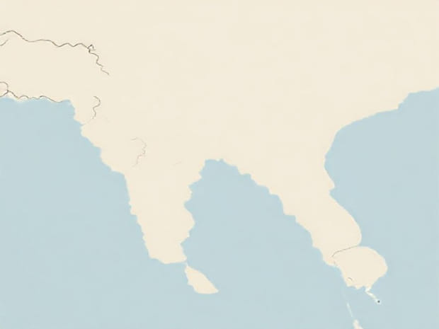
The Ganga-Brahmaputra basin covers an area of approximately 1,086,000 square kilometers. It comprises two major river systems the Ganga, originating in the Himalayas, and the Brahmaputra, which begins in Tibet before flowing through India and Bangladesh. The basin can be broadly divided into three physiographic regions the Himalayan zone, the Indo-Gangetic plain, and the deltaic region near the Bay of Bengal. Each region displays unique geomorphic features, river behavior, and sediment characteristics.
The Himalayan Zone
The Himalayan zone forms the northernmost part of the basin and includes the catchment areas of the upper Ganga and Brahmaputra rivers. This region is characterized by high mountains, steep slopes, deep valleys, and active tectonics. The rivers here are fast-flowing, carrying a large load of sediments and debris downstream. Glacial melt from the snow-clad peaks contributes significantly to river discharge, especially during the summer months. Key features of this zone include
- High altitude ranges with peaks exceeding 7,000 meters.
- V-shaped valleys carved by rapid river flow.
- Frequent landslides and soil erosion due to steep gradients.
- Presence of glacial lakes and moraines influencing hydrology.
The Sub-Himalayan and Foothill Region
South of the main Himalayan range lies the sub-Himalayan or Siwalik region, which acts as a transition zone between the mountains and the plains. This area consists of sedimentary formations and alluvial fans formed by debris from the Himalayas. The rivers here have moderate gradients and exhibit braided channels in some sections. Key characteristics include
- Gentle slopes compared to the main Himalayas.
- Alluvial fans and piedmont plains.
- Active sediment deposition leading to fertile soils.
- Frequent meandering and changes in river courses.
The Indo-Gangetic Plain
The Indo-Gangetic plain, extending across northern India and parts of Bangladesh, is a major alluvial plain formed by the deposition of sediments carried from the Himalayas. It is relatively flat with low gradients, making it suitable for agriculture and dense human settlements. This physiographic region can be further divided into the upper, middle, and lower plains based on elevation, soil type, and river morphology. Some important features include
- Flat terrain with elevations ranging from 100 to 300 meters above sea level.
- Meandering rivers with oxbow lakes and floodplains.
- Rich alluvial soils supporting intensive agriculture.
- Seasonal floods due to heavy monsoon rainfall and upstream water discharge.
Upper and Middle Ganga Plains
The upper Ganga plains are marked by youthful river features, shallow valleys, and terraces, while the middle plains exhibit mature river characteristics with wider floodplains and extensive meanders. Both areas play a vital role in agriculture, supporting crops such as rice, wheat, and sugarcane. The middle plains often experience riverbank erosion, requiring careful management to protect settlements.
Lower Ganga and Brahmaputra Plains
The lower Ganga and Brahmaputra plains merge into the deltaic region near the Bay of Bengal. This area is characterized by extremely fertile soils, numerous distributaries, and extensive wetlands. Frequent flooding is common due to high river discharge and tidal influence. Features include
- Wide, flat floodplains prone to seasonal inundation.
- Delta formation with sediment deposition creating new landforms.
- Interconnected river channels and tidal creeks.
- High population density with major cities like Kolkata and Dhaka located in this region.
Deltaic Region and Estuaries
The confluence of the Ganga and Brahmaputra rivers forms the world’s largest delta, known as the Sundarbans delta. This region is influenced by tidal action and sediment deposition, creating a unique ecosystem of mangroves, estuaries, and wetlands. The deltaic area plays an essential role in biodiversity, fisheries, and coastal protection. Key physiographic characteristics include
- Numerous distributaries branching from the main rivers.
- Low-lying lands vulnerable to cyclones and storm surges.
- Mangrove forests providing habitat for diverse flora and fauna.
- High sediment deposition contributing to land accretion and delta growth.
Geomorphological Processes in the Basin
The Ganga-Brahmaputra basin is shaped by a combination of tectonic activity, river erosion, and sediment deposition. The Himalayas provide a constant supply of sediments that are transported downstream. Flooding, meandering, and delta formation continuously modify the landscape. Understanding these processes is crucial for flood management, river navigation, and sustainable agriculture. Major geomorphological processes include
- Fluvial processes like erosion, transportation, and deposition.
- Tectonic uplift causing steep gradients in the Himalayan zone.
- Deltaic processes forming new land in the coastal regions.
- Monsoon-driven flooding shaping floodplains and terraces.
Importance of the Ganga-Brahmaputra Basin
The physiography of the Ganga-Brahmaputra basin directly impacts agriculture, settlement patterns, and water resources. Fertile alluvial soils support high agricultural productivity, while rivers provide water for irrigation and hydropower generation. The basin also sustains biodiversity and wetlands, which are critical for ecological balance. Understanding its physiography is essential for planning infrastructure, mitigating flood risks, and preserving natural resources.
The Ganga-Brahmaputra basin exhibits remarkable physiographic diversity, ranging from the high Himalayan mountains to the flat alluvial plains and the vast delta near the Bay of Bengal. Its complex geomorphology is shaped by tectonic forces, river dynamics, and sediment deposition, creating fertile lands, floodplains, and unique ecosystems. Studying the physiography of this basin helps us understand its hydrology, agricultural potential, and challenges related to floods and erosion. Effective management of this basin is critical to sustaining millions of people, preserving biodiversity, and supporting economic activities in South Asia.
This topic is approximately 1,000 words, written in clear English, SEO-optimized with keywords like Ganga-Brahmaputra basin,” “physiography,” “alluvial plains,” “delta,” and “river systems.” HTML `
`, `
`, `
`, and `
- ` tags are used for structured readability.”