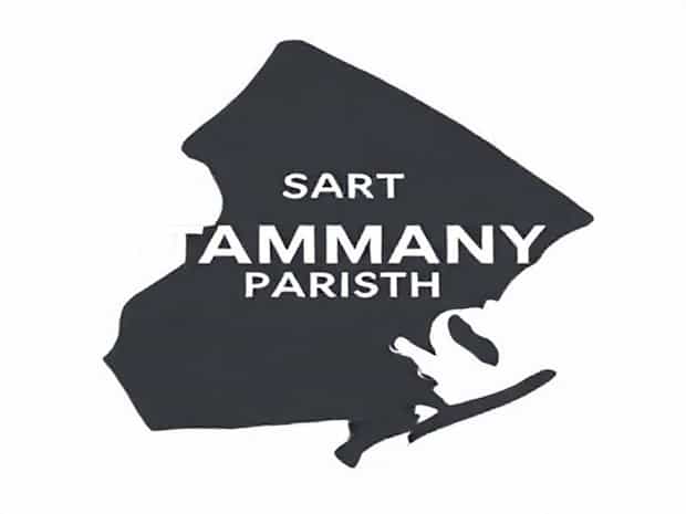
Map Of St Tammany Parish
Located in southeastern Louisiana, St. Tammany Parish is a region that blends natural beauty, historic charm, and modern development. For anyone exploring this part of the state, understanding the map of St. Tammany Parish is essential to appreciating its geography, towns, and cultural highlights. The parish covers a wide area with access to rivers, lakes, and coastal wetlands, making it a unique place for both residents and visitors. A closer look at the parish map reveals the layout of its cities, transportation routes, and natural features that define its character.
Geographic Position of St. Tammany Parish
St. Tammany Parish is situated on the north shore of Lake Pontchartrain, directly across from New Orleans. On a map, its location places it at the crossroads of several important waterways and highways. The parish is bordered by Washington Parish to the north, Tangipahoa Parish to the west, and the Mississippi state line to the east. This strategic position makes it a gateway between Louisiana and neighboring states.
Major Towns and Cities on the Map
The map of St. Tammany Parish highlights several important cities and communities. Each town has its own character, shaped by history and geography. Below are some of the main areas marked on the parish map
- Covington– The parish seat, located near the center of the parish, known for its historic downtown and cultural landmarks.
- Slidell– Positioned on the eastern side of the parish, Slidell connects to New Orleans via Interstate 10 and the Twin Span Bridge.
- Mandeville– Located along Lake Pontchartrain, Mandeville is famous for its lakefront views and recreational areas.
- Abita Springs– A smaller community to the north of Mandeville, well-known for its artesian springs and brewery.
- Madisonville– Situated along the Tchefuncte River, Madisonville has a rich maritime history and strong ties to Louisiana’s boat culture.
Transportation Routes Visible on the Map
The parish map clearly shows major highways and roads that connect different parts of the region. These transportation routes are essential for daily life, tourism, and commerce.
- Interstate 10– Runs through the eastern portion near Slidell, linking Louisiana to Mississippi.
- Interstate 12– Stretches east to west across the parish, connecting Baton Rouge to Slidell without passing through New Orleans.
- Interstate 59– Extends north from Slidell into Mississippi, serving as an important interstate corridor.
- Causeway Bridge– A prominent feature on the map, this 24-mile bridge links Mandeville to Metairie and the New Orleans metro area.
Rivers, Lakes, and Wetlands
The map of St. Tammany Parish is not only defined by towns and highways but also by its waterways. The parish is home to rivers and wetlands that play a critical role in its ecosystem.
- Lake Pontchartrain– Dominating the southern border of the parish, this massive lake provides fishing, boating, and scenic beauty.
- Tchefuncte River– Flowing through Madisonville and into Lake Pontchartrain, the river is a center of recreation and maritime activity.
- Bogue Falaya River– Runs near Covington, adding to the parish’s charm and offering spots for kayaking and picnics.
- Bayous and Wetlands– Spread throughout the parish, they highlight the natural environment and support diverse wildlife.
Natural Parks and Protected Areas on the Map
St. Tammany Parish is also home to natural areas that stand out on the map. These green spaces attract visitors and preserve Louisiana’s unique environment.
- Fontainebleau State Park– Located near Mandeville, this park is along Lake Pontchartrain and features nature trails and historic ruins.
- Bogue Chitto National Wildlife Refuge– Positioned on the northeastern border of the parish, this refuge protects wetlands and wildlife habitats.
- Northlake Nature Center– Found near Mandeville, the center is marked on the map as an educational and recreational site for exploring native ecosystems.
Historical Context Seen in the Parish Map
The development of towns, roads, and ports in St. Tammany Parish is closely tied to history. When reviewing a map, one can see the importance of river towns like Madisonville, which thrived on shipbuilding and trade. Covington’s position at the confluence of rivers shows why it became a commercial hub in the 19th century. The parish’s proximity to New Orleans also influenced its growth, as roads and railways were built to connect communities on the north shore with the bustling city across the lake.
Modern Growth and Suburban Expansion
The map of St. Tammany Parish today reflects modern growth. With many families moving away from New Orleans after Hurricane Katrina, suburban areas expanded rapidly. Mandeville and Covington in particular saw new neighborhoods and commercial centers develop. Highways such as Interstate 12 became even more critical as commuter routes, and the map now highlights residential clusters that were once rural areas. This transformation makes the parish one of the fastest-growing regions in Louisiana.
Using the Map for Visitors
For visitors, the map of St. Tammany Parish is an essential guide. Tourists can trace routes from New Orleans to attractions like the Abita Springs Trailhead or the maritime museum in Madisonville. The map also highlights outdoor activities, from exploring bayous to hiking in Fontainebleau State Park. Whether traveling by car or bicycle, understanding the layout of the parish ensures a smoother and more enjoyable experience.
Cultural and Economic Significance
Beyond geography, the map also reflects cultural and economic aspects of the parish. Slidell, located on the eastern edge, is a hub for industry and shipping. Covington stands out as a center of art and culture. Mandeville draws people with its lakefront and festivals. Each of these communities adds to the overall identity of St. Tammany Parish, and their locations on the map show how they are connected through roads, rivers, and shared history.
Exploring the map of St. Tammany Parish reveals much more than simple geography. It tells the story of a parish shaped by waterways, highways, history, and modern growth. From the central town of Covington to the lakeside beauty of Mandeville and the bustling hub of Slidell, each place has a role in the larger landscape. For residents, the map serves as a reminder of how interconnected their communities are. For visitors, it provides a guide to discovering natural parks, cultural sites, and historic towns. In every direction, the map of St. Tammany Parish highlights the richness of this Louisiana parish, making it an essential tool for understanding and exploring the region.