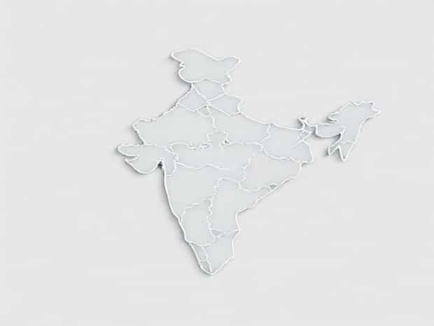
Location And Physiography Of India
India is a vast country located in South Asia, known for its diverse geography, unique cultural landscape, and strategic position on the world map. Its location and physiography have played an essential role in shaping its history, climate, economy, and natural resources. Stretching from the mighty Himalayas in the north to the coastal plains in the south, and from the arid deserts in the west to the lush hills and forests in the east, India’s landforms display remarkable variety. Understanding the location and physiography of India is crucial for gaining insights into how geography influences life, agriculture, settlement patterns, and economic growth across the subcontinent.
Geographical Location of India
India lies entirely in the Northern and Eastern hemispheres. Its location provides it with a distinctive geographical identity, influencing not only its climate but also its trade and political relations. Geographically, India extends approximately between 8°4′ North to 37°6′ North latitudes and 68°7′ East to 97°25′ East longitudes. The Tropic of Cancer, which lies at 23°30′ North latitude, passes almost through the center of the country, dividing it into two nearly equal halves the northern temperate zone and the southern tropical zone. This latitudinal positioning greatly affects the diversity of climate and vegetation across regions.
The mainland of India is surrounded by water on three sides the Arabian Sea to the west, the Bay of Bengal to the east, and the Indian Ocean to the south. To the northwest, it shares borders with Pakistan; to the north and northeast, with China, Nepal, and Bhutan; and to the east with Bangladesh and Myanmar. The country’s southern tip is close to Sri Lanka and the Maldives, connecting it to important international sea routes.
Significance of India’s Location
-
India’s central location in Asia allows it to act as a link between the East and the West. Historically, this position supported cultural exchanges and trade through both land and sea routes.
-
The presence of the Indian Ocean makes India a hub for maritime trade. Its ports have facilitated commerce with Africa, the Middle East, and Southeast Asia for centuries.
-
India’s latitudinal extent influences the variety of climate zones, ranging from alpine cold in the Himalayas to tropical monsoons in the southern regions.
-
The strategic geographical placement enhances India’s geopolitical importance in global affairs.
Physiography of India
The physiography of India refers to the physical features of the land, shaped by geological processes over millions of years. The country can be divided into six broad physiographic divisions, each with distinct features. These landforms not only define the beauty of India but also determine patterns of agriculture, settlement, and industry.
The Himalayan Mountains
The Himalayas form the northern boundary of India, stretching across the states of Jammu and Kashmir, Himachal Pradesh, Uttarakhand, Sikkim, and Arunachal Pradesh. This mountain range includes some of the world’s highest peaks, such as Mount Everest (on the Nepal border) and Kanchenjunga. The Himalayas are divided into three parallel ranges the Greater Himalayas (Himadri), the Lesser Himalayas (Himachal), and the Shiwalik Hills. They serve as a natural barrier protecting India from cold Central Asian winds and foreign invasions in ancient times, while also being the source of perennial rivers like the Ganga, Yamuna, and Brahmaputra.
The Northern Plains
South of the Himalayas lies the vast Northern Plains, formed by the alluvial deposits of rivers such as the Ganga, Yamuna, and Brahmaputra. These plains are among the most fertile lands in the world, making them ideal for agriculture. The flat and extensive land supports dense population and urban development. Rice, wheat, sugarcane, and pulses are widely cultivated here, making the plains the agricultural heartland of India.
The Peninsular Plateau
The Peninsular Plateau is the oldest landmass of India, formed by the ancient Aravalli ranges and volcanic activity. It covers a large portion of central and southern India and consists mainly of igneous and metamorphic rocks. The plateau is divided into two major parts the Deccan Plateau in the south and the Central Highlands in the north. Rich in mineral resources such as coal, iron ore, and mica, this region plays a crucial role in India’s industrial development. The plateau is bounded by the Western Ghats and Eastern Ghats, which are significant for biodiversity and rainfall distribution.
The Indian Desert
Located in the northwestern part of India, mainly in Rajasthan, lies the Thar Desert. Characterized by arid climate, sandy soil, and extreme temperatures, the desert receives very little rainfall. Vegetation is sparse, and life depends largely on the availability of water. Despite harsh conditions, the region has seen the growth of cities and cultural centers, while wind energy and solar projects are increasingly important here.
The Coastal Plains
India has two stretches of coastal plains the Western Coastal Plains along the Arabian Sea and the Eastern Coastal Plains along the Bay of Bengal. These plains are narrow but highly productive regions. The Western Coastal Plains are known for lagoons and backwaters, while the Eastern Coastal Plains include large river deltas such as those of the Godavari, Krishna, and Mahanadi rivers. Fishing, agriculture, and trade thrive in these areas due to fertile soil and easy access to the sea.
The Islands
India also includes island groups. The Andaman and Nicobar Islands are located in the Bay of Bengal, while the Lakshadweep Islands lie in the Arabian Sea. These islands are of great strategic and ecological importance. The Andaman and Nicobar Islands are rich in tropical forests and serve as biodiversity hotspots, while Lakshadweep is famous for coral reefs and marine life.
Influence of Physiography on India’s Climate and Economy
The varied physiography of India directly affects its climate and economic activities. The Himalayas block cold winds, ensuring moderate temperatures in northern India, while also capturing monsoon rains that feed rivers and agriculture. The coastal plains benefit from maritime climate, supporting crops like rice and coconut, while the desert regions show how human adaptation creates livelihoods in harsh climates. The mineral-rich plateau underpins industries like mining and metallurgy, while fertile plains ensure food security for millions.
The location and physiography of India together form the foundation of its identity as a diverse and vibrant nation. Its central position in Asia gives it geopolitical importance, while its physical features support a wide range of climates, ecosystems, and economic activities. From the snowy peaks of the Himalayas to the tropical islands of the Andaman and Nicobar, India’s geography is both a challenge and an opportunity. By understanding the connection between location, physiography, and development, one can appreciate how geography continues to shape the destiny of India.