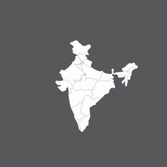
Give An Account Of Physiography Of India
India, the seventh-largest country in the world, is known for its vast and diverse physiography that spans mountains, plains, plateaus, deserts, and coastal regions. The physical features of India play a crucial role in shaping its climate, agriculture, biodiversity, and human settlement patterns. Understanding the physiography of India is essential for comprehending the country’s natural resources, environmental challenges, and regional diversity. From the towering peaks of the Himalayas to the fertile Gangetic plains and the arid deserts of Rajasthan, India’s physiography reflects a complex interplay of geological processes and climatic influences that have evolved over millions of years.
The Himalayan Mountains
The Himalayas, stretching across the northern border of India, form one of the youngest and most prominent mountain ranges in the world. This region includes high peaks such as Kanchenjunga, Nanda Devi, and other formidable summits that influence climate and river systems in the country. The Himalayas can be divided into three main ranges the Greater Himalayas, the Lesser Himalayas, and the Shivalik Hills.
Greater Himalayas (Himadri)
The Greater Himalayas, also known as Himadri, consist of towering snow-clad peaks and glaciers. These mountains serve as a natural barrier against cold winds from Central Asia and significantly influence the monsoon patterns. They are the source of many perennial rivers such as the Ganga, Yamuna, and Brahmaputra, which provide water for irrigation, drinking, and hydropower generation.
Lesser Himalayas (Himachal)
The Lesser Himalayas, or Himachal, are characterized by rugged terrain, deep valleys, and dense forests. This range includes prominent hill stations like Shimla, Manali, and Darjeeling. The region supports diverse flora and fauna and is a significant area for tourism, agriculture, and hydroelectric projects.
Shivalik Hills
The Shivalik Hills are the outermost range of the Himalayas with lower elevation and softer slopes. These hills are important for soil formation, forest cover, and wildlife habitats. They also act as a transitional zone between the plains and the higher mountain ranges.
The Indo-Gangetic Plains
South of the Himalayas lies the vast Indo-Gangetic plains, formed by the deposition of sediments from rivers originating in the mountains. This alluvial plain stretches across northern India and includes the fertile regions of Punjab, Haryana, Uttar Pradesh, Bihar, and West Bengal. The plains are extensively cultivated, making them the agricultural heartland of India.
Features of the Plains
- Flat and fertile land suitable for intensive agriculture.
- Network of major rivers such as Ganga, Yamuna, Brahmaputra, and their tributaries.
- High population density due to the availability of water, fertile soil, and favorable climate.
- Floodplains and river terraces formed by repeated deposition over time.
The Peninsular Plateau
Covering a large portion of southern and central India, the Peninsular Plateau is an ancient geological formation known as the Deccan Plateau. It is predominantly made up of igneous and metamorphic rocks and is rich in mineral resources. The plateau is bounded by the Western Ghats on the west, the Eastern Ghats on the east, and the Vindhya and Satpura ranges in the north.
Western Ghats
The Western Ghats are a range of mountains running parallel to India’s western coast. They are recognized as a UNESCO World Heritage Site due to their biodiversity and ecological significance. The Ghats influence rainfall patterns, harbor numerous rivers, and provide fertile land for plantations such as coffee and spices.
Eastern Ghats
The Eastern Ghats run along the eastern coast and are more fragmented than the Western Ghats. These hills are older, eroded, and contain mineral deposits. They play a crucial role in regulating river flow into the Bay of Bengal and support a variety of ecosystems.
Central Highlands
The Central Highlands, including the Vindhya and Satpura ranges, act as a transition between the Indo-Gangetic plains and the Peninsular Plateau. They are characterized by rugged terrain, forest cover, and mineral-rich soils. These highlands are significant for agriculture, forestry, and wildlife conservation.
The Desert Region
The Thar Desert, also known as the Great Indian Desert, lies in western India, primarily in Rajasthan. It is an arid region with sandy terrain, sparse vegetation, and extreme temperature variations. Despite harsh conditions, the desert supports pastoral communities and is rich in minerals such as gypsum and limestone.
Features of the Thar Desert
- Low rainfall, with occasional monsoon showers.
- Sand dunes and sandy plains formed by wind action.
- Adapted flora and fauna capable of surviving in arid conditions.
- Significant cultural heritage, including historic forts and desert festivals.
Coastal Plains and Islands
India has two major coastal plains the Eastern Coastal Plain along the Bay of Bengal and the Western Coastal Plain along the Arabian Sea. These plains are narrow, fertile, and support agriculture, fishing, and trade. India also has several islands, including the Andaman and Nicobar Islands in the east and the Lakshadweep Islands in the west, each with unique physiographic characteristics.
Eastern Coastal Plains
The Eastern Coastal Plains are broad and continuous, featuring deltas of major rivers such as Godavari, Krishna, and Mahanadi. They are fertile, support rice cultivation, and have important ports like Chennai and Visakhapatnam.
Western Coastal Plains
The Western Coastal Plains are narrow, flanked by the Western Ghats, and have estuaries, lagoons, and fertile soil suitable for crops like coconut, cashew, and spices. Major ports include Mumbai, Mangalore, and Kochi.
Rivers and Drainage System
India has a complex drainage system consisting of Himalayan rivers, peninsular rivers, and inland drainage basins. Himalayan rivers like the Ganga, Yamuna, and Brahmaputra are perennial and fed by glaciers, while peninsular rivers such as Godavari, Krishna, and Kaveri are seasonal and dependent on rainfall. These rivers are vital for irrigation, drinking water, hydropower, and transportation.
Significance of Rivers
- Provide water for agriculture and domestic use.
- Support hydroelectric power generation.
- Form fertile alluvial plains suitable for cultivation.
- Enable inland navigation and trade.
The physiography of India is extraordinarily diverse, encompassing high mountains, fertile plains, plateaus, deserts, coastal plains, and islands. Each region has its own distinct features, influencing climate, agriculture, settlement patterns, and natural resources. From the snow-clad peaks of the Himalayas to the arid expanses of the Thar Desert and the lush Western Ghats, India’s physical geography shapes the life and culture of its people. Understanding the physiography of India provides insight into the country’s environmental dynamics, economic potential, and ecological diversity, making it an essential aspect of studying India’s geography and natural heritage.