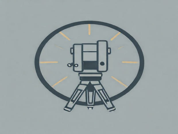
Errors In Theodolite Surveying
Theodolite surveying is a precise method used in civil engineering, construction, and topographic mapping to measure horizontal and vertical angles. Despite its high accuracy, errors can occur during theodolite surveying due to instrument limitations, environmental conditions, and human mistakes. Understanding these errors is essential for surveyors to minimize inaccuracies, ensure reliable results, and maintain the integrity of construction and mapping projects. Errors in theodolite surveying can affect measurements, alignment, and calculations, making it crucial to identify, categorize, and correct them wherever possible. Accurate theodolite work requires both technical skill and careful attention to detail.
Types of Errors in Theodolite Surveying
Errors in theodolite surveying can generally be classified into three main categories instrumental errors, personal errors, and natural errors. Each type has specific causes, effects, and methods for mitigation. By recognizing these sources of errors, surveyors can take steps to minimize their impact and achieve more precise results.
Instrumental Errors
Instrumental errors originate from defects or limitations in the theodolite itself. Even high-quality instruments may have small imperfections that can lead to measurement inaccuracies. Common types of instrumental errors include
- Collimation Error This occurs when the line of sight through the telescope is not perfectly aligned with the axis of rotation of the instrument. Collimation errors can cause angular miscalculations and affect horizontal and vertical angle measurements.
- Vertical Circle Index Error If the vertical circle is not properly adjusted or calibrated, readings of vertical angles may be incorrect, resulting in errors in slope determination or elevation calculations.
- Horizontal Circle Error Misalignment or manufacturing defects in the horizontal circle can lead to inaccurate horizontal angle measurements.
- Trunnion Axis Error The trunnion axis may not be perfectly perpendicular to the vertical axis, causing slight inaccuracies in vertical angle measurements.
- Graduation Errors Imperfections in the markings of the circles or scales can result in minor inaccuracies, particularly in high-precision surveying tasks.
Personal or Human Errors
Human errors occur due to mistakes made by the surveyor during the measurement process. These errors are often avoidable with proper training, focus, and careful execution of procedures. Common personal errors include
- Incorrect Reading Misreading the vernier scale or misrecording measurements can introduce errors into survey data.
- Poor Focusing Failure to focus the telescope accurately can result in parallax error, where the apparent position of the target shifts relative to the scale.
- Improper Setup Incorrect leveling of the instrument, misplacement of the tripod, or unstable positioning can affect the accuracy of angle measurements.
- Incorrect Targeting Misalignment with the surveying point or prism can cause angular discrepancies.
- Fatigue and Inattention Extended work periods or lack of concentration can lead to mistakes in reading or recording data.
Natural or Environmental Errors
Natural errors arise from external environmental factors that affect measurements. These errors are often unpredictable and require careful consideration to mitigate. Common natural errors include
- Temperature Effects Thermal expansion or contraction of the instrument, tripod, or measuring rods can alter readings.
- Refraction Light bending due to temperature gradients in the atmosphere can slightly shift the apparent position of distant targets.
- Wind Strong winds may move the instrument or tripod slightly, causing small misalignments during measurement.
- Uneven Terrain Measuring over sloped or irregular ground can introduce setup errors if the instrument is not perfectly leveled.
- Atmospheric Conditions Rain, fog, or dust can obscure targets, leading to misalignment and inaccurate readings.
Methods to Minimize Errors in Theodolite Surveying
While some errors are unavoidable, surveyors can adopt several practices to minimize inaccuracies and improve reliability in theodolite measurements.
Instrument Calibration and Maintenance
Regular calibration and maintenance of the theodolite are essential to reduce instrumental errors. Surveyors should
- Check and adjust the collimation of the telescope.
- Verify and correct vertical and horizontal circle readings.
- Ensure that trunnion axes and graduated scales are properly aligned.
- Clean lenses, mirrors, and scales to prevent visibility issues and parallax errors.
Proper Surveying Techniques
Using accurate surveying procedures helps reduce personal and human errors. Key techniques include
- Careful leveling of the instrument using spirit levels or electronic leveling devices.
- Double-checking readings and recording data carefully to avoid transcription mistakes.
- Using tripods on stable ground and securing them properly to prevent movement.
- Aligning the telescope precisely with the target and using appropriate focusing techniques.
- Allowing the instrument to stabilize before taking measurements, especially in outdoor conditions.
Accounting for Environmental Factors
Surveyors can reduce natural errors by planning measurements under favorable conditions and compensating for known environmental effects. Practical approaches include
- Conducting surveys in calm weather to minimize wind-induced errors.
- Considering the effects of temperature and refraction, particularly for long-distance measurements.
- Using corrective calculations for slope, curvature, or atmospheric refraction where needed.
- Avoiding measurements in low visibility conditions to reduce targeting errors.
Errors in theodolite surveying can arise from multiple sources, including instrument imperfections, human mistakes, and environmental factors. While theodolites are highly precise instruments, understanding and addressing these errors is crucial to ensure accurate survey results. Surveyors can minimize errors through regular instrument calibration, proper surveying techniques, careful data recording, and accounting for environmental influences. Awareness of these errors allows engineers, cartographers, and construction professionals to produce reliable measurements, maintain project integrity, and enhance overall safety and efficiency in surveying practices. By systematically managing errors, the accuracy of theodolite surveying can be maximized, supporting high-quality engineering and scientific outcomes.